 Blue Edge
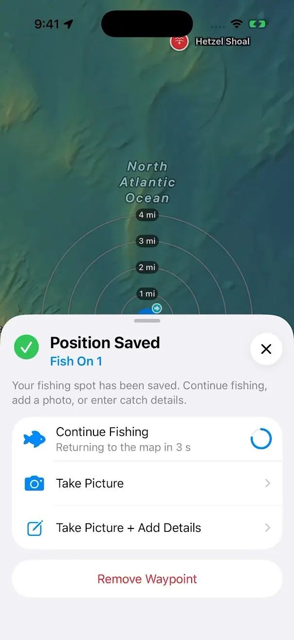
Fish On
Marks the spot the moment a fish comes aboard.
Blue Edge Relief
Blue Edge Relief shows Florida’s seafloor in detail, right on your map. Ledges, reefs, wrecks and channels, on iPhone, iPad and Mac.

NOT FOR NAVIGATION. Relief is for situational awareness only. Use official charts and your vessel’s navigation equipment.
Blue Edge Relief
Drag the slider across the same stretch of the Lower Keys. Relief is rendered by Blue Edge from public NOAA bathymetry, then laid over Apple satellite imagery.
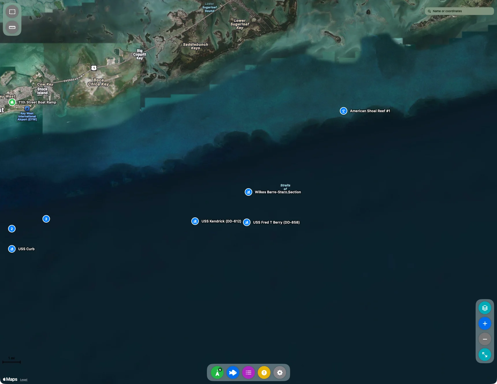
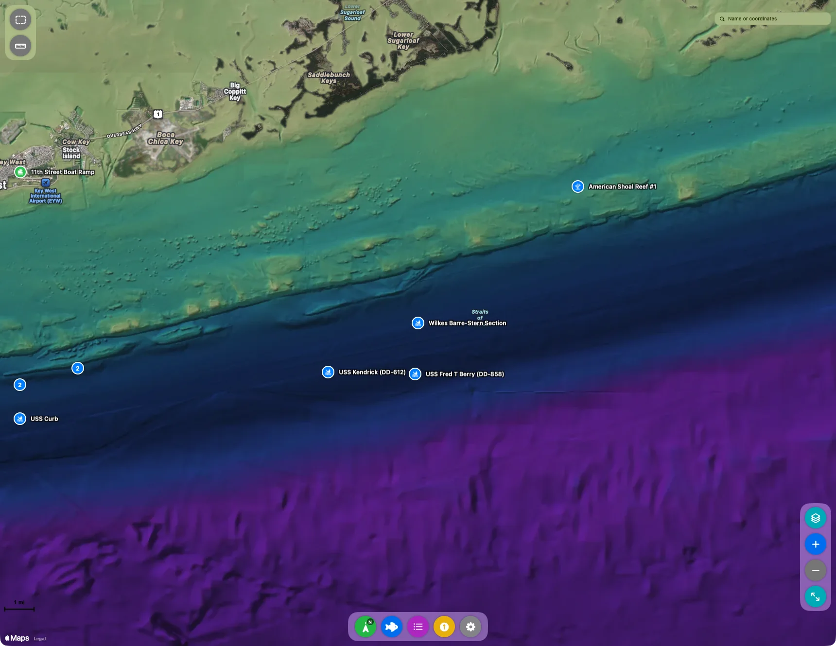 Relief on
Relief off
NOT FOR NAVIGATION. Blue Edge Relief is for situational awareness only. It isn’t a chart and may contain errors, gaps or interpolation. Use official NOAA charts and your vessel’s navigation equipment.
On the water
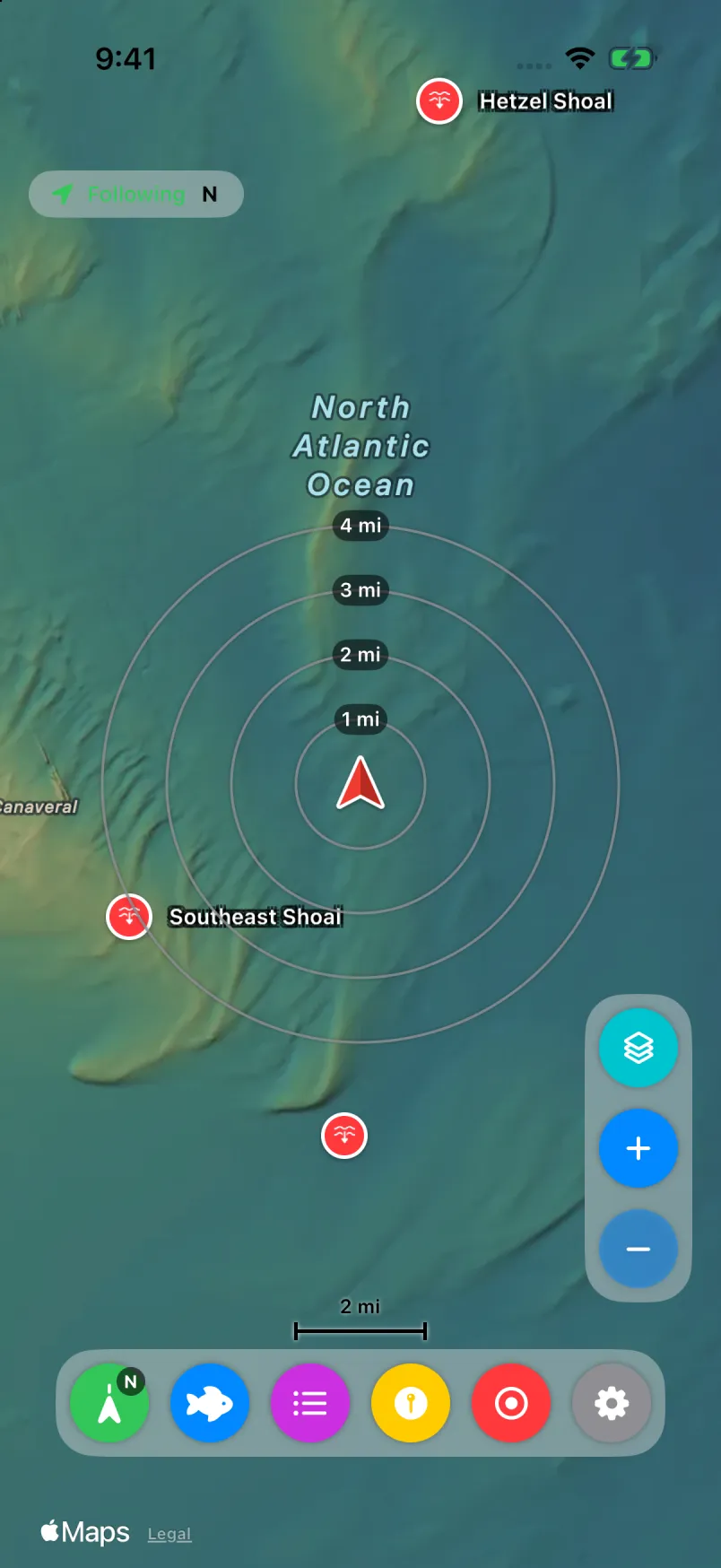
Mark a spot, log a catch with one tap, and record your trip, even with the screen locked. Big controls for gloves and bright sun.
Marks the spot the moment a fish comes aboard.
Keep recording in the background, even with the screen locked.
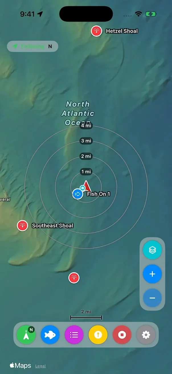
Become waypoints, and can be the map icon.
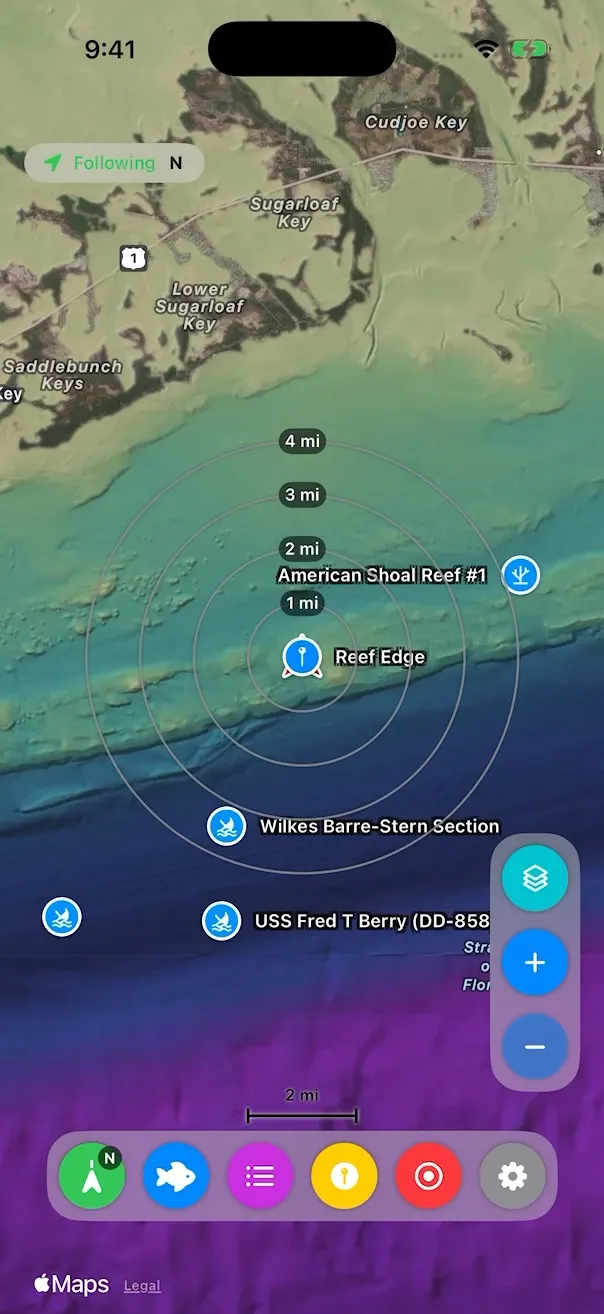
And large map controls.
Private by design
Waypoints, trips and catch photos are stored on your devices, never on a Blue Edge server. No Blue Edge account, no ads, no tracking. Sync runs directly between your own paired devices.
At the dock
Blue Edge Companion for Mac handles the bulk work: bulk edits, imports, trip plans, and plotter files for just the trip you’re running.
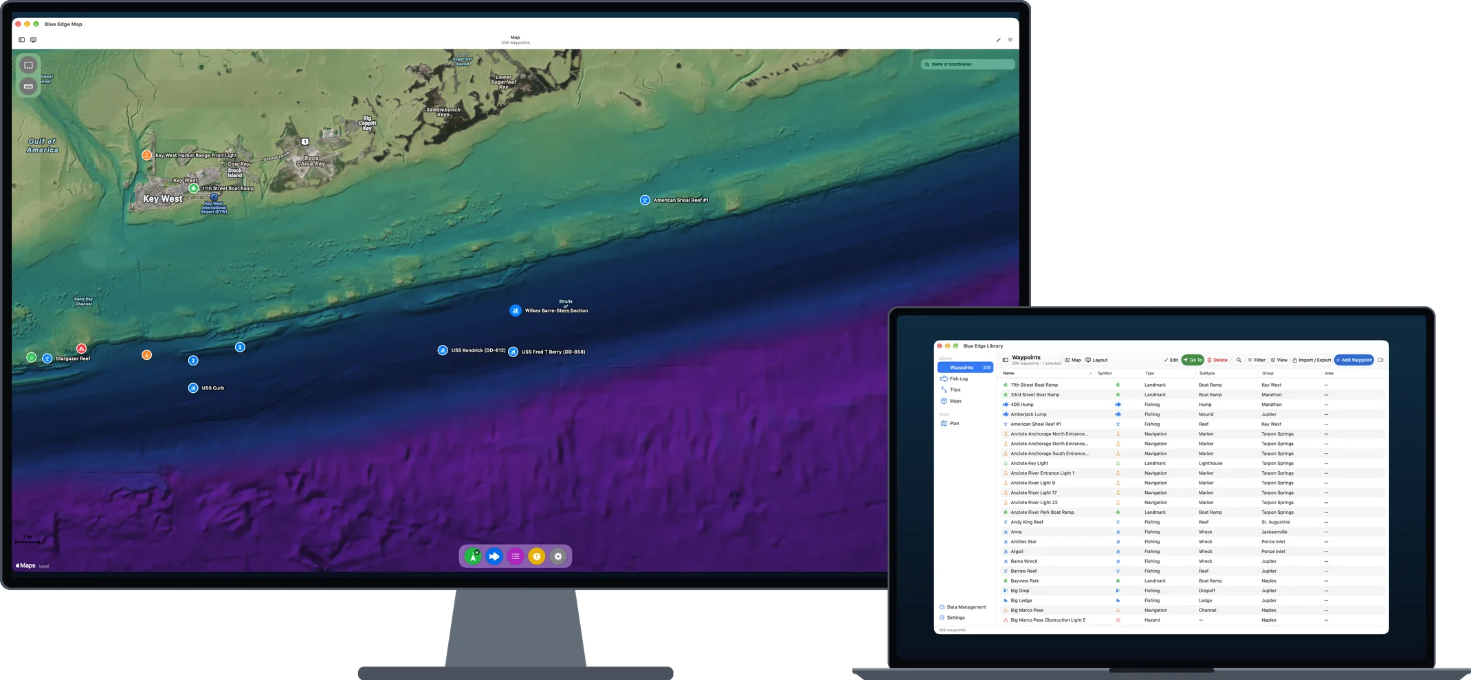
The Map and Library open as two windows, side by side or across two displays. Select a mark in one and it’s selected in the other.
Type, subtype, group and area, with Undo for saves, bulk edits and deletes.
Ordered stops with leg distances, and a float plan you can save as text or PDF.
Filter to one group, then export for a Garmin plotter or Navionics.
Coverage
Eight finished packs cover parts of the Florida coast. More are in progress.
Introductory pricing, planned for launch
$49.99 a year
iPhone, iPad and Mac, with sync and pack updates. Includes one Relief pack, and you can switch it at each renewal.
$9.99 a year each
Add more of the coast. Extra packs need the subscription.
$0
Apple Maps satellite and hybrid with pack coverage outlines. No sync.
Introductory pricing, which may increase in the future. Up to 5 devices in any 90 days. Subscriptions renew automatically until you cancel. There are no lifetime purchases. If your subscription ends, your packs stop working until you resubscribe.
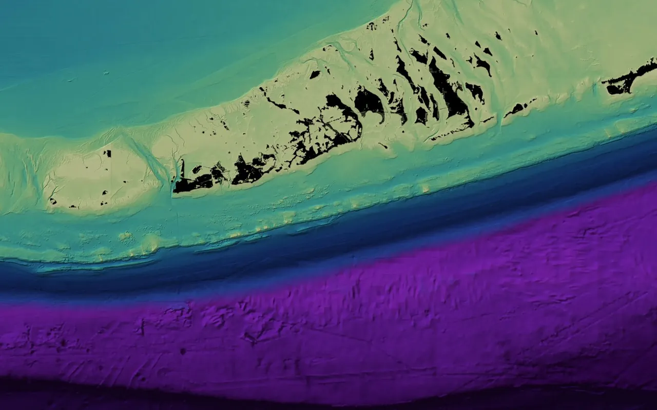 Lower Keys
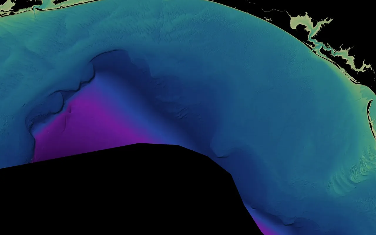 Emerald Coast
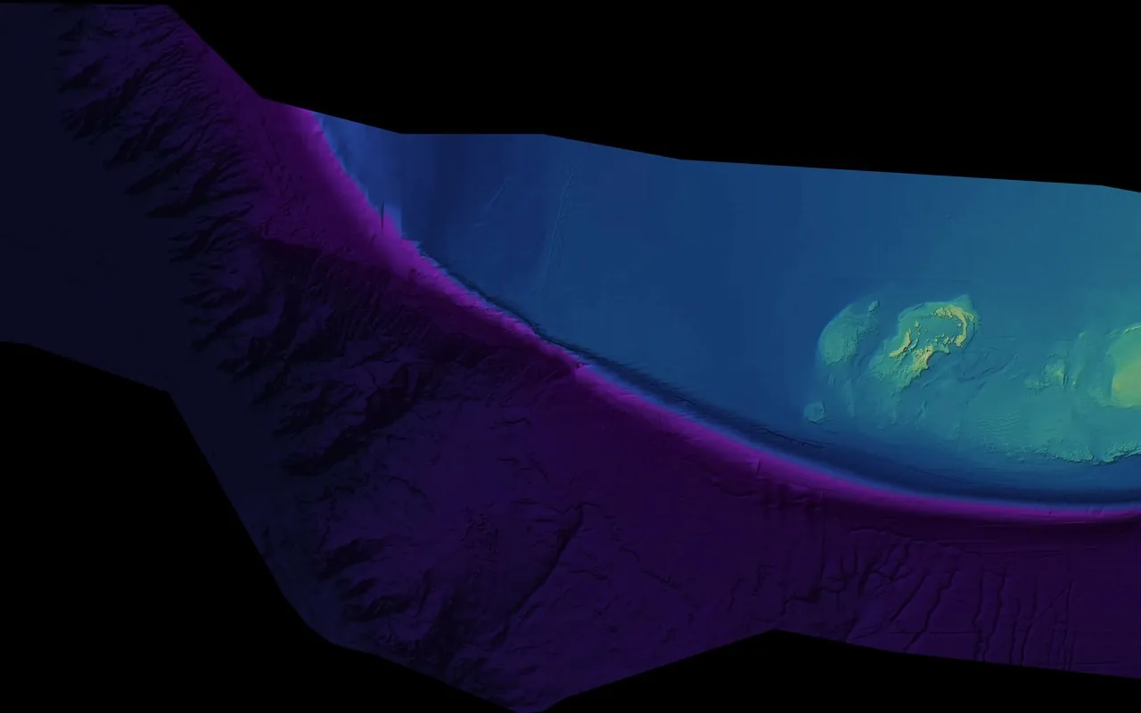 Tortugas–Pulley Ridge
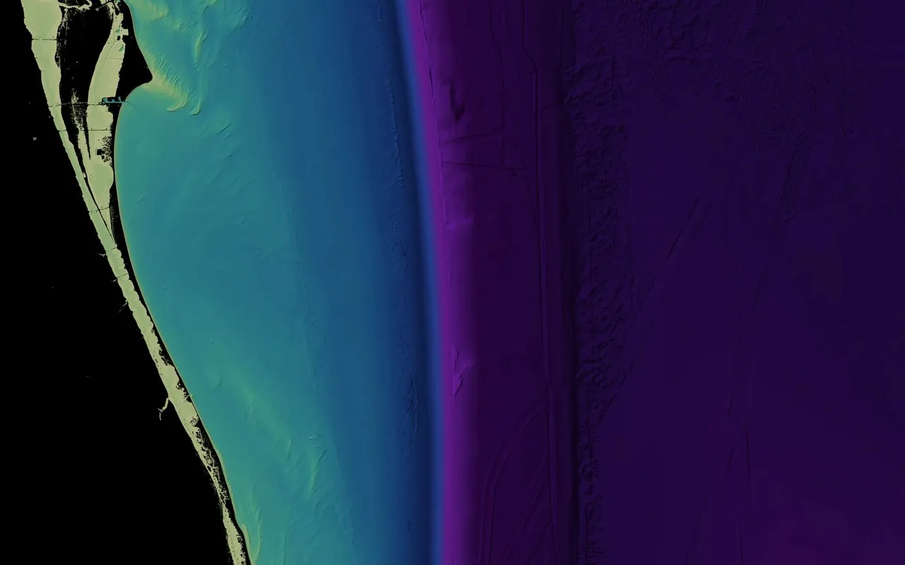 Space Coast