 Blue Edge
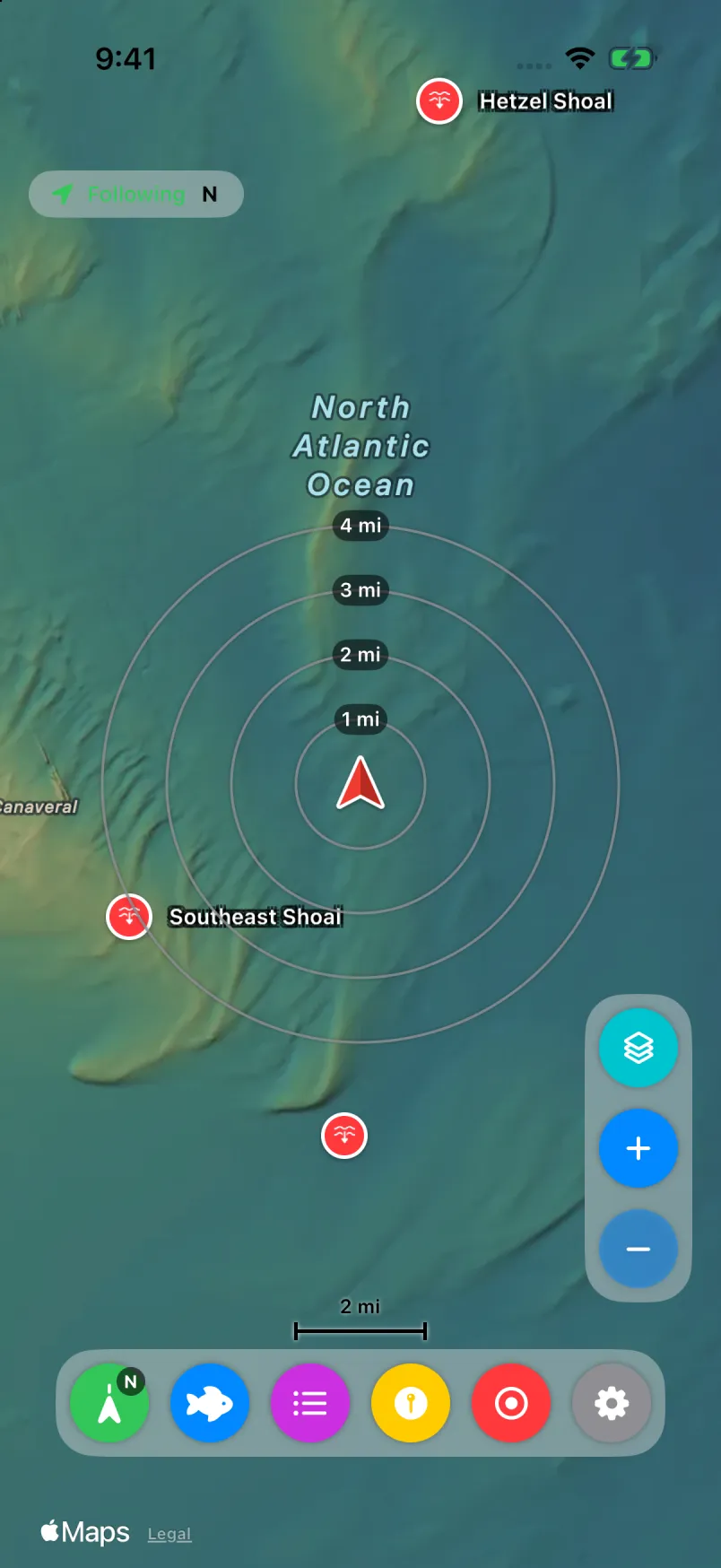
Waypoints
Drop a mark, give it a type and symbol, and read it at a glance with clean circle markers.
iPhone & iPad · Coming to the App Store
The map, your marks, your catches and your trips, in your hand at the helm.
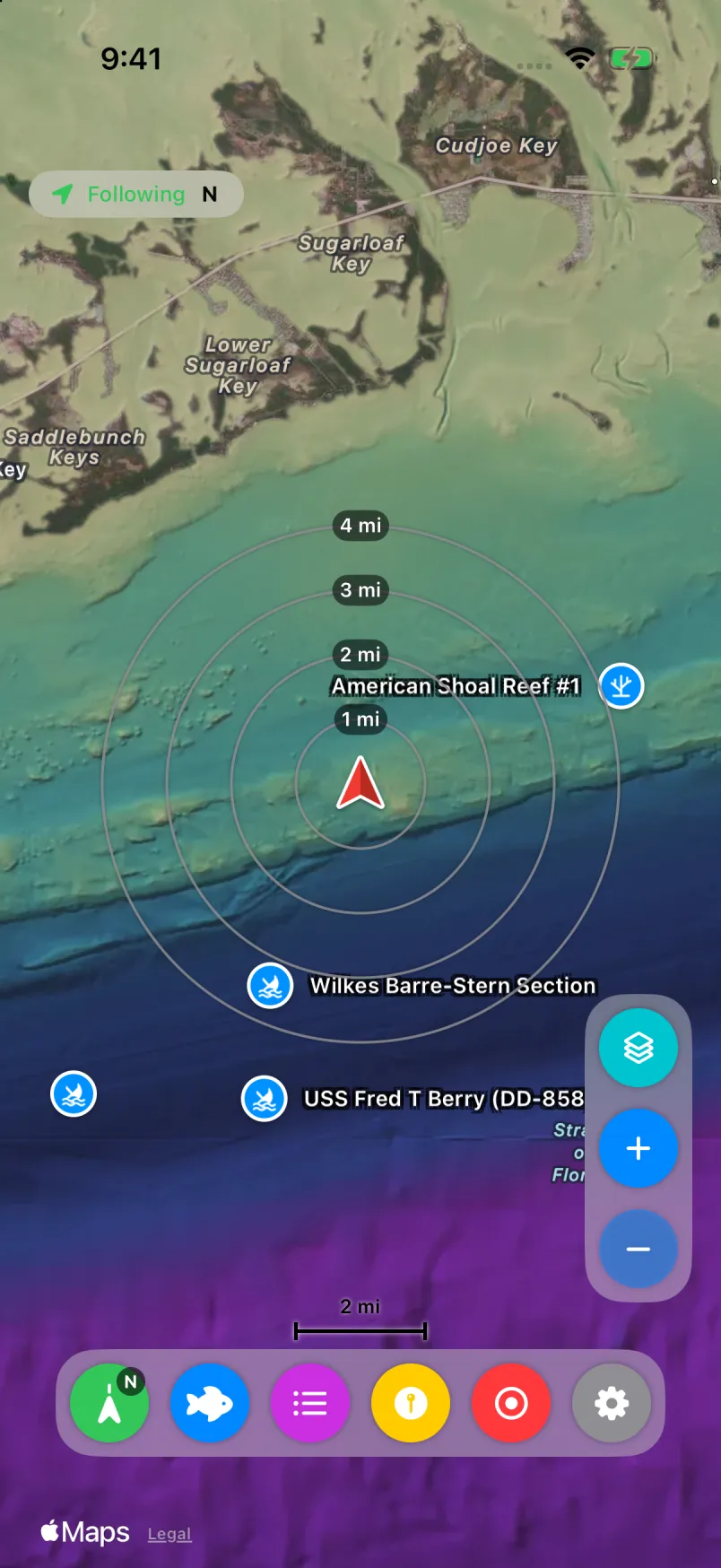
Drop a mark, give it a type and symbol, and read it at a glance with clean circle markers.
One tap marks the spot. Fish Log keeps the catch with where it happened.
Record your track while you fish, even with the screen locked. Recording stops when you end the trip.
Turn a photo into a waypoint and use it as the map icon, so the pin shows the catch.
Weather and tides are added to catches and trips when you have a signal, so you can see what was working.
Group marks under an area name and see it as a labeled shape when you zoom out.
Your iPhone or iPad syncs with Blue Edge Companion over Wi‑Fi or peer-to-peer. It’s encrypted, runs only between devices you’ve paired, and never goes through a Blue Edge server. Sync comes with the subscription.